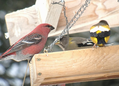
Over the weekend I took a trip with some friends to Sax Zim Bog, Minnesota. This is a great spot to get boreal species and perk up your winter birding. Thanks to social media, I had a good idea of where specialty birds were being seen but thought I would use the BirdsEye app (the app that tells you what people are reporting to eBird).
Most of the time I find this to be a very useful app, especially when I'm visiting an unfamiliar city or looking for a new place to watch birds. The app has a "Birding Hotspots" tab that lets you see via Google Maps where the best birding spots are. These are highlighted by red dots that you can click on and shows you a name and a list of birds that have been reported there. Generally, it's different parks.
This is what I found when I looked at hot spots for Sax Zim Bog:
What the frickity frack?? Okay, I know that the county roads can have redpolls, crossbills, hawk owls and what not at any point...but...um, really? Do we really need to mark every 25 feet as a birding hotspot?
I have a resolution this year to use eBird and contribute sightings on a regular basis, but that is a bit insane. I will not be adding in sitings from this weekend's trip. It's overwhelming and really, I thought there was the option to say that you went up to five miles on a trail? Unless eBird is going to let me enter in my sightings real time with my phone, I don't see people who are new to eBird being eager to look at this and figure it out.
I know we want birds to be easier to find but they don't always need to be an X marks the spot type of hunt. There is something to be said for the thrill of the chase.


